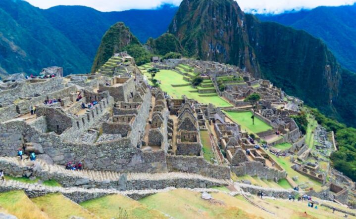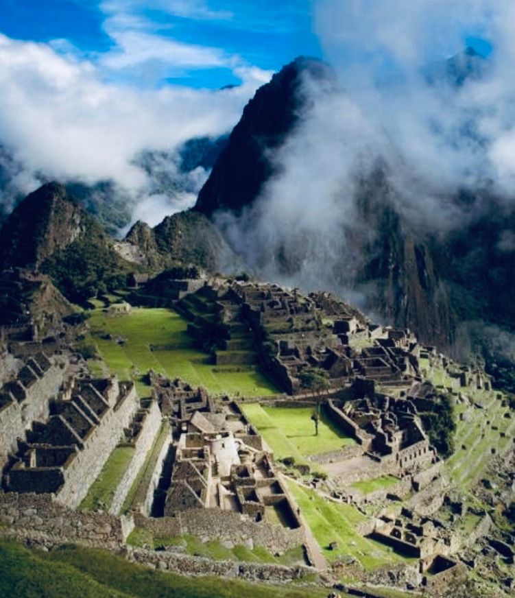
Qhapaq ñan, main Andean Road System
UNESCO has included in the World Heritage List a number of sections of the Great Inca Trail, under the common name of Andean road system. This inclusion responds to an exemplary effort of coordination among the six countries involved: Peru, Argentina, Bolivia, Chile, Colombia and Ecuador.
“One of the things that I most admired watching and noticing the things of this Empire was thinking how and in what way they could have built such great and prominent roads as we see and how many strong men were necessary to work on such infrastructure and what tools and instruments they used to prepare the ground and break rocks to make them as wide and good as they still stand and; because I think that if the Emperor had wanted to order the construction of another royal road like the one going from Quito to Cusco and from Cusco to Chile, he would have been unsuccessful despite his power and despite his strong work force, if it had not been done the way the Incas finally did…”.
Pedro Cieza de León Crónica del Perú (Chronicle of Peru), 1553
When the Spaniards arrived to the Andean territory in the 16th Century, they found a complex communications system, covering an area of over 6,000kms long with a road network of 35,000kms. They were not domestic roads, but rather part of a political project connecting towns, production and ceremonial centres within a long-term economic, social, and cultural programme. Ancient Europe had had something similar, under the expansion of Rome at the beginning of the Christian era, so the Spaniards were led to classify as an ‘Empire’ the Tahuantinsuyo – the country that ruled the Incas. Since then it has been called as such.
This network covered the south of Colombia (now Ecuador), Peru, and Bolivia; the northwest and centre west of Argentina; and the north and centre of Chile. More than the distances covered, what makes this network so extraordinary is the extent and quality of its coverage, connecting snowcapped mountain peaks at an altitude of more than 5,000 metres, to warm and humid tropical forests, to fertile valleys in the middle of absolute deserts, at sea level. All this network, with access roads linked to a main longitudinal axis, made it possible to connect all peoples and landscapes under one single road system.
This system was built on irregular terrain and varied landscapes which were overcome with bridges, stairs, uneven platforms, ditches, sewers, paved and cobbled that solved the continuity and health of the road, while including signs and rest areas or inns (tambos) to help in-transit walkers. The network was controlled by a central bureau responsible for its maintenance and administration, connecting an area now covered by six countries of South America, it linked the entire western front of the continent, overlooking the Pacific Ocean. A central axis, called «Qhapaq Ñan» (Main Road), crossing the Andes Mountains lengthwise, with crosslinks connecting the peoples of the West coast, to the East or jungle area. By going to the main road, the traveller could go anywhere in the Tahuantinsuyo. Considering the most common routes, the road network covered more than 35,000kms of main and secondary roads.
The roads were pedestrian paths because the Andean world had no cars or other means of land transport, so that travellers travelled alone or in caravans accompanied by some native quadrupeds called llamas, used as pack animals carrying luggage, along with their domestic utensils, consisting mainly of agricultural, mining or manufacturing tools that they carried to various locations, usually associated and programmed by the various State agencies or by the walker’s community. As a result, the roads were ready to withstand the intense comings and goings of groups of people, sometimes including thousands of walkers – going on mass pilgrimages, battalions of warriors, merchant caravans or diverse domestic shipments, often communal.
This was the way the Empire of about 6,000kms long remained connected and integrated under a single productive management programme. There was a centre, Cusco, which was ‘everyone’s’ point of departure and arrival. To the extent that the Qhapaq Ñan was the output of a far-reaching political project, its destinations and connectivity purposes served the Inca state to manage such vast territory, under a territorial political and/or population unity and enabling the circulation of wealth and people who produced and transported goods.

A road policy undoubtedly defines the way a State manages its territory and determines the course of its development, whether aiming for its integration or disarticulation. That is why this State was structurally linked to the road network, so much so that the State and the territory were actually named after directions or “suyus”, which determined its government system. Having Cusco as the centre, the “suyus” were: to the north, “Chinchaysuyo”, to the south “Collasuyo”, to the east “Antisuyo”, and to the west “Contisuyo”. They pointed out the directions of destination: to the north – Chinchaysuyo – was the land of intense urban pattern, where economic and social policies should follow such form of life, with States as powerful as the Chimor and with very advanced political structures like those of the Chincha in the south coast, the Huancas in the Mantaro valley, in what is now centre and north Peru and, later, the Cañaris, Quitus, and Caranquis in the territory of what is now Ecuador.
The paths cover over 2,000kms of linear distance from Cusco. To the south, passing through the vicinity of the Collas, who lived on the shores of Lake Titicaca, crossing the harshest deserts of the Andes, with stations in their oasis, on one side of the mountain – now Chile – and the other side – now Argentina – with an additional 3,000kms. Throughout the entire system, there are “Tampus” or ‘tambos’ or inns, where travellers could rest, get food and shelter – a sort of inn – offering services. Such travellers were headed to cities or large towns close to different minerals, livestock, or crop fields.
Sometimes such roads just led to sanctuaries or sacred praying or worshiping sites for the “Apus2” which governed existence and which were located on the summits of high mountains or in the still waters of lakes hidden among the hills, headwaters or at sea, within which heaven rests quietly
This network leads to the Contisuyo to the West of Cusco, home to fish, shellfish, and cochayuyo (seaweed) eaten by everyone in the Andes, both in the plateaus and in the highlands. It was just a matter of catching them, preparing them for the trip to Qhapaq Ñan and shipping. This is also the case towards the East, called Antisuyo, home to trees with hard branches, colourful feathers, coca and other precious goods. These 6,000kms of routes are connected to several other road networks of lower hierarchy. What we know so far about Qhapaq Ñan is only the beginning, there is yet much to learn. Since this was a centralised political project, these roads were not made by chance, but rather following a formally designed network. The Incas used the old roads built by the peoples they conquered, expanded and fixed existing ones and built others where there were none or where the existing path did not fit into the road policy.

As a result, they covered the entire territory with roads, bridges, tunnels, and other services, maintenance and road engineering services. This indicates that even before the Inca Empire existed there were already roads in the Andes. Indeed, there is information suggesting that ancient civilisations already had some sort of road policies, particularly during the period known as “formative” and perhaps even before, when roads were linked to the way communities were structured and were used for worship and trading of goods and services.
There is some evidence dating back to the second millennium before the Christian era, suggests such policies existed in the north coast and it is very likely that practice was already followed since the time of the Chavin civilisation, towards the 9th Century BC and then the Moche and Tihuanaco civilisations in the first half of the first millennium of the Christian era. In fact, there was a Qhapaq Ñan since the 9th Century AD, as part of the Huari Empire, which was used and further expanded by the Incas. It was not a casual or hasty project and, that is why it has had the impact that only now we are beginning to recognise: a network aimed at integrating a vast territory stretching from southern Colombia to central Chile and Argentina, across Ecuador, Peru, and Bolivia.


